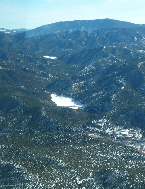
Dry weather at least makes for good flying, and early last week Tom Blog took me up in his Cessna for a look at the town from about 1,000 feet. We headed up Cerrillos Road, passing over the wasteland that was the old Santa Fe Indian School. From there we headed northeast over Thornburg headquarters (I wanted to take in all my favorite sights) and circled over the villages of Chupadero and Rio en Medio. Flying back south over the foothills, we got a stunning view of the Santa Fe River all the way from the Canyon Road treatment plant past Nichols and McClure Reservoirs, stacked one above the other on the mountain. I had never seen both of them at once. Frozen and white with snow they shone among the pines — the source of 40 percent of Santa Fe’s drinking water.

Nichols and McClure Reservoirs
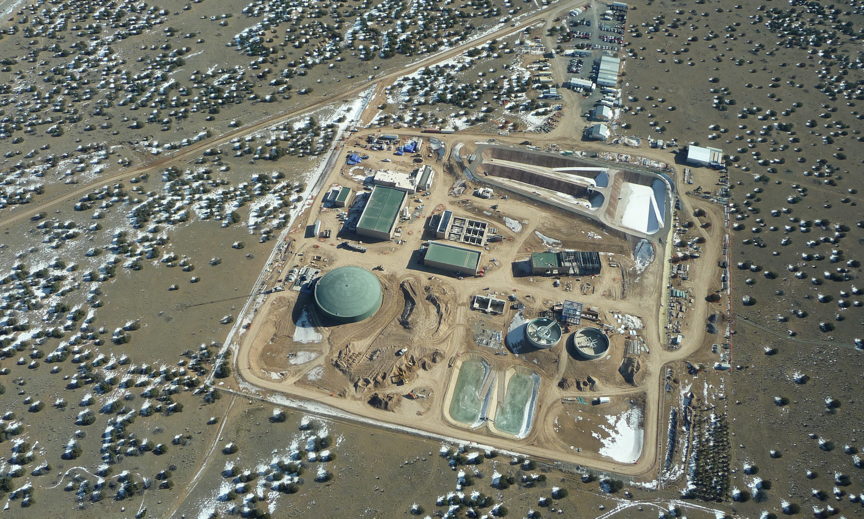
After pausing for a look at the Tom Ford mansion and what turned out to be my best photo of the day (warning: this is a 5.6 megabyte download), we headed west toward the Rio Grande, where the rest of the city’s water comes from. Construction was continuing at the new treatment plant on Caja del Rio Road, which will clean the water pumped up from the Buckman diversion dam.

Buckman Treatment Plant
We flew along the pipeline past Diablo Canyon and the Buckman well field to the Rio Grande, then followed the river north to where it meets the Chama. All of this territory, my favorite part of the world, seemed so compact and finite from the air. Before I knew it we were almost to Abiquiu Lake. We cut south past the black volcanic mesa called Cerro Pedrenal and ascended a few thousand feet higher for a flight over the Valles Caldera and Redondo Peak, then down the other side of the Jemez Mountains to Cochiti Dam. Back when I was finishing high school in Albuquerque, a corporation called Great Western Cities announced that by 1980 it would build a town next to Cochiti as big as Santa Fe. Thankfully it turned out to be a scam. I’d forgotten the story until just recently when Emlen Hall, the retired UNM law professor I mentioned in a previous post, sent me an article he wrote almost 30 years ago in The New Mexico Review.
The Santa Fe River, or at least the dry river bed, enters the Rio Grande just north of Cochiti, and as we headed back home I watched it until it disappeared inside the deep basalt canyon at La Bajada. Someday I’d like to hike that stretch, from there north to La Cienega. (How esoteric all this geography must sound to readers who don’t know northern New Mexico. Live here long enough and it’s like being indoctrinated into a cult with its own private language.)
Before we landed I spotted the river one last time, fat with discharge from the sewage treatment plant on Airport Road. We’d come full circle, seeing where water comes into the city and where it goes back out again.
George Johnson
The Santa Fe Review
